
 Norsk
NorskRadar animation
Multi radar animation
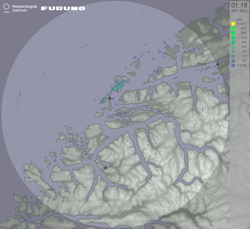
Precipitation (at 1200m)
Update cycle: 2 min, 45 min history
The animation illustrates areas where precipitation is currently anticipated, presented in millimeters per hour (mm/h). This radar product utilizes dual polarization data, including specific differential phase (Kdp) and reflectivity, to provide a more comprehensive analysis.
By examining the animation, it is possible to forecast the movement and intensity of precipitation over time.
Please note that light precipitation may not always reach the ground.