
 English
Radar animation
Multi radar animation
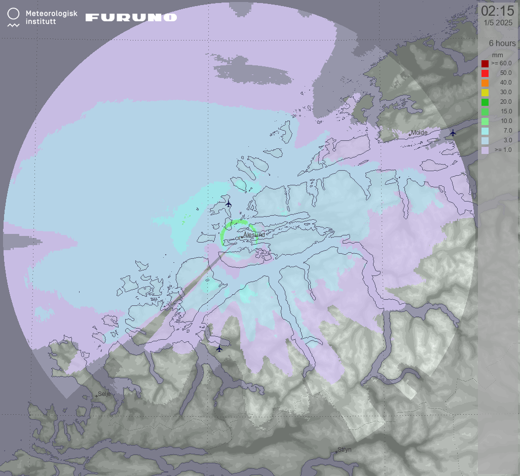
Precipitation
Update cycle: 5 min (45 min history)
The animation displays areas where precipitation is currently anticipated and is based on reflectivity data along with the Marshall-Palmer method. By analyzing the animation, it becomes possible to predict the movement and intensity of precipitation over time.